From factories to glass towers
Fabryka Norblina → Browary Warszawskie → Plac Europejski → Rondo Daszyńskiego → Warsaw Uprising Museum.
For markets, start first at Hala Mirowska and Hala Gwardii, just outside Wola in Śródmieście, as shown on the map.

Industrial heritage, wartime history and Warsaw’s changing skyline.
Explore Wola on the map ↓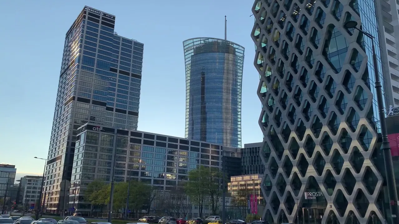
Few districts of Warsaw have changed as dramatically as Wola. In the east, glass towers rise beside restored factories; further west, historic cemeteries, residential estates and green parks tell very different stories. Royal elections, the fighting of 1831, industrialisation and the devastation of 1944 all left their marks.
This guide explores the district through its places and people, with original photographs and three ways to discover it. Wola is large: the routes are separate experiences, not one continuous walking trail.
The district boundary and numbered landmarks are shown alongside Claude’s three route groups. Stop 1 — the Mirów market halls — is deliberately labelled as just over the boundary in Śródmieście; they are optional context for Route A, not a Wola attraction.

The purple line is Wola's official district boundary. Its eastern edge follows al. Jana Pawła II, so the Mirów market halls (1) stand just over the line in Śródmieście, though they belong to historic Mirów.
MMetro line M2 crosses the district: Rondo Daszyńskiego, Płocka, Młynów, Księcia Janusza and Ulrychów.
Streets, railways, parks, cemeteries and boundaries from OpenStreetMap, October 2026. © OpenStreetMap contributors, ODbL.
Long before factories and glass towers, the fields around Wola were important to the Polish–Lithuanian Commonwealth. From 1575, nobles gathered here to elect monarchs; the last royal election on these fields chose Stanisław August Poniatowski in 1764.
On 6 September 1831, Polish defenders fought Russian forces at Redoubt 56, commonly called Fort Wola or Sowiński’s Redoubt, during the November Uprising. General Józef Sowiński had lost a leg during Napoleon’s Russian campaign in 1812 and used a wooden prosthesis. He died during the defence; the famous story of his death at the altar of St Lawrence’s Church is a legend, not a settled account.
Juliusz Słowacki immortalised Sowiński in the poem Sowiński in the Trenches of Wola. St Lawrence’s Church on Wolska Street was later used for Orthodox worship under Russian rule and returned to Catholic use in the twentieth century. Nearby Park Sowińskiego recalls the general’s name.
Railways and manufacturing transformed Wola during the nineteenth century. Metalworking, brewing, machinery production and gas supply brought employment and new residential communities, alongside difficult working conditions and labour disputes, including the upheaval of 1905.
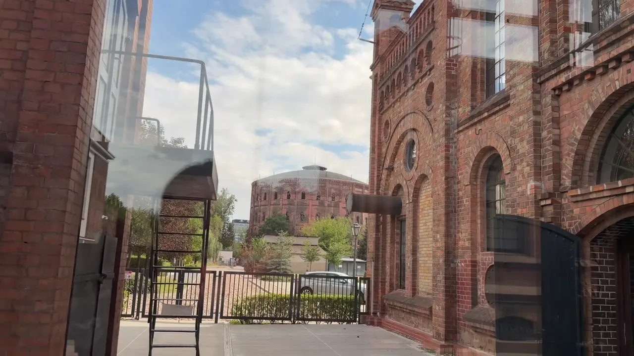
Kasprzaka 25 · Museum address: Krzyżanowskiego 7. The Wola gasworks began operating in the late nineteenth century. Its monumental brick gas-holder buildings and surviving equipment testify to the scale of Warsaw’s industrial infrastructure. The Gasworks Museum tells the story of how gas was produced and supplied to the city; access to different parts of the complex is not necessarily the same as museum entry.
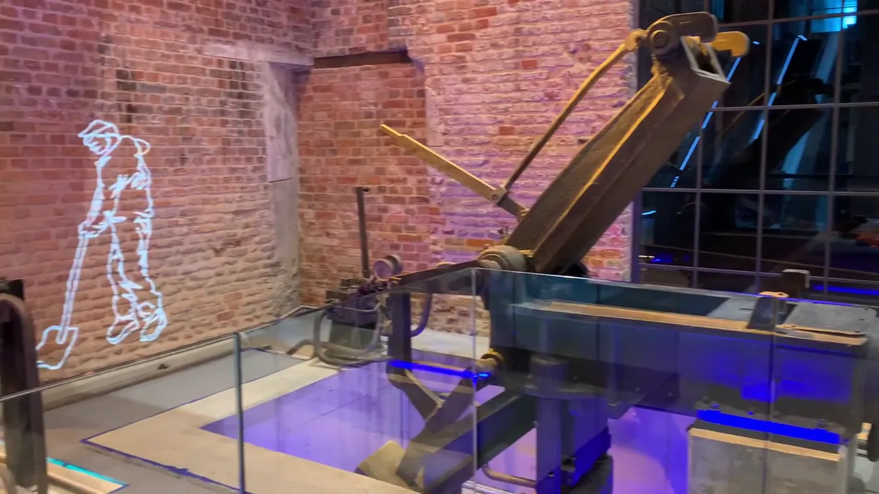
Żelazna 51/53. An industrial complex associated with metalworking and plated metal goods now combines historic machinery and brick structures with restaurants, culture, shops and public space. The on-site museum tells the story of the enterprise and its workers. Look closely at the equipment preserved throughout the site.
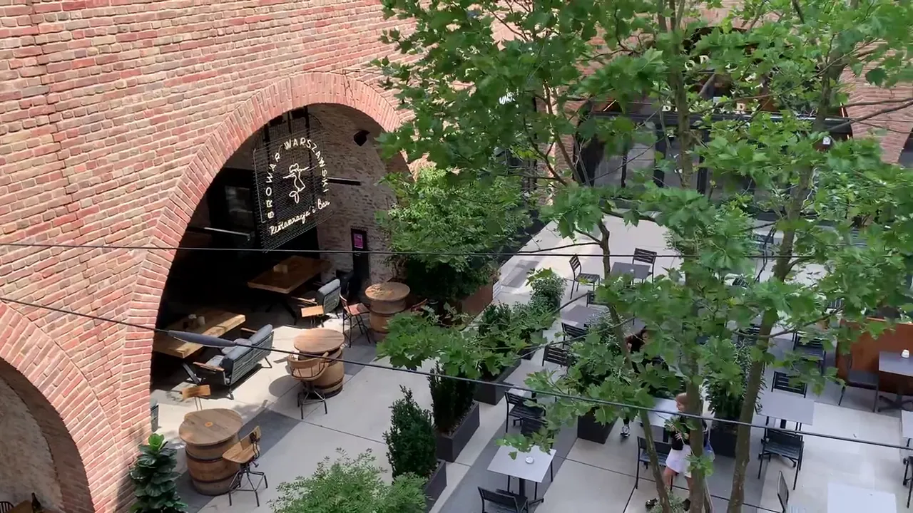
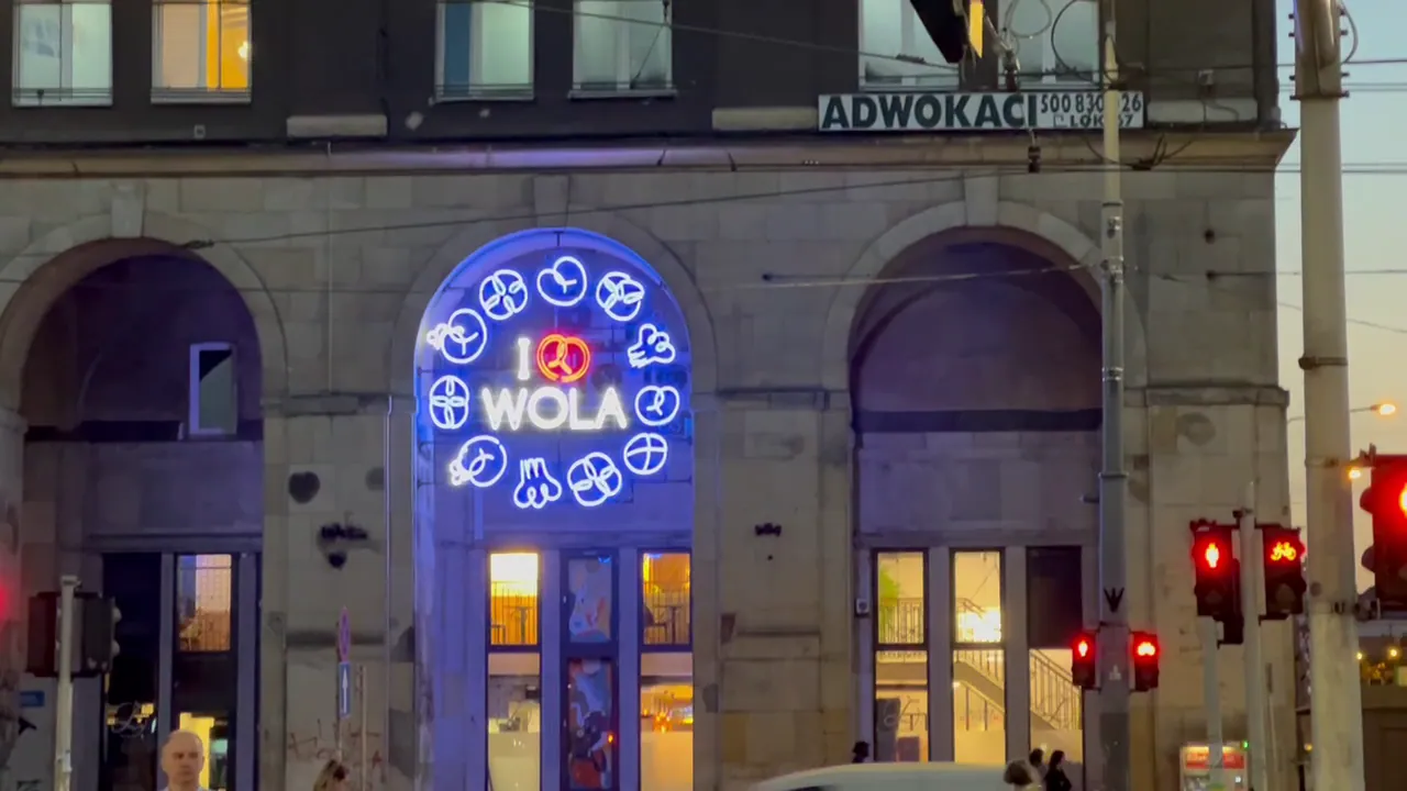
Grzybowska / Krochmalna. The former brewing site linked to Haberbusch and Schiele has been redeveloped around historic elements. It offers another way to explore Wola’s industrial past through surviving fabric and modern uses.
Near today’s junction of al. Solidarności and Okopowa stood Kercelak, once one of Warsaw’s best-known open-air markets. Its stalls and traders were an essential part of prewar working-class life. The original market is gone; historic photographs offer the best impression of what once stood here.
For a wider look at the factories and trading traditions, continue to our Industrial Warsaw & Markets guide.
Under German occupation, streets and courtyards in eastern Wola were incorporated into the Warsaw Ghetto. Surviving structures make this history visible, even as the surrounding city has changed.
At Waliców 11, a surviving wall from the former Herman Jung brewery formed part of the ghetto boundary between November 1940 and August 1942. The ruined tenement at Waliców 14 is an important remnant of prewar and wartime Warsaw, but it should not itself be confused with the boundary wall. The wall fragments at Sienna 55 and Złota 62 are nearby, in Śródmieście.
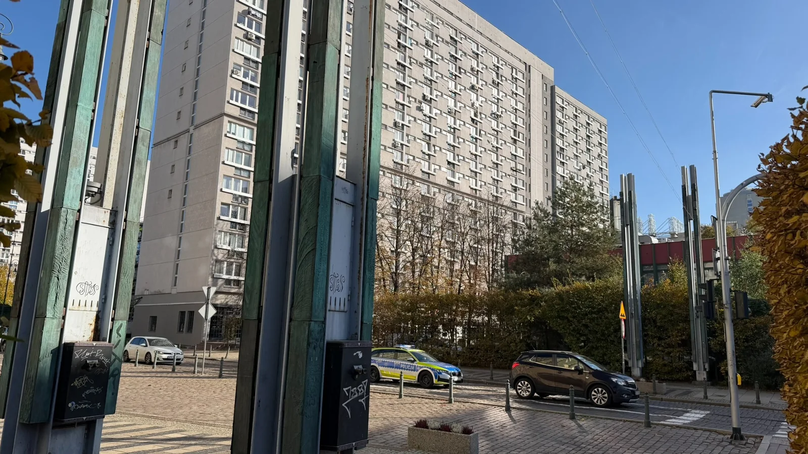
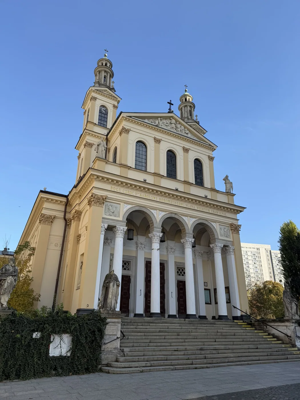
At the junction of Chłodna and Żelazna, a wooden footbridge crossed Chłodna Street in 1942, joining parts of the ghetto separated by the road. The modern Footbridge of Memory installation recalls it. A short walk away stands the Church of St Charles Borromeo at Chłodna 21. Designed by Henryk Marconi and built between 1841 and 1849, its prominent neoclassical façade recalls Wola’s nineteenth-century growth. This is a different church from St Charles Borromeo at Old Powązki Cemetery.
Our Jewish Warsaw guide explores the ghetto and Jewish heritage in much greater depth.
Following the outbreak of the Warsaw Uprising on 1 August 1944, German SS and police formations carried out mass murders across Wola, especially from 5 August. Men, women, children and elderly people were killed, including hospital patients and medical staff. Estimates vary; the figure of approximately 40,000 victims is frequently cited.
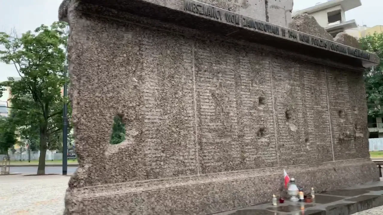
Near al. Solidarności and Leszno, the principal monument commemorates the murdered civilians. Other memorials mark individual execution sites along Wolska, Górczewska and surrounding streets. This 1944 massacre is distinct from the Warsaw Ghetto Uprising of 1943.
Heinz Reinefarth was among the German commanders responsible for operations in Wola. He was not convicted for his role in the crimes and later became mayor of Westerland and a politician in West Germany. His career is an enduring reminder that many perpetrators escaped justice.
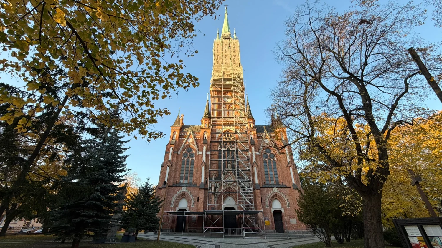
Wolska 76. German forces used the church as a holding and transit site for civilians seized during the suppression of the uprising. Many were taken onwards to the Pruszków transit camp, Dulag 121.
Wolska 174/176. The cemetery holds the remains of large numbers of civilians and combatants killed during the 1944 uprising and its suppression, including victims of the massacre. Its Polegli Niepokonani (“Fallen but Unconquered”) monument is an important place for remembrance.
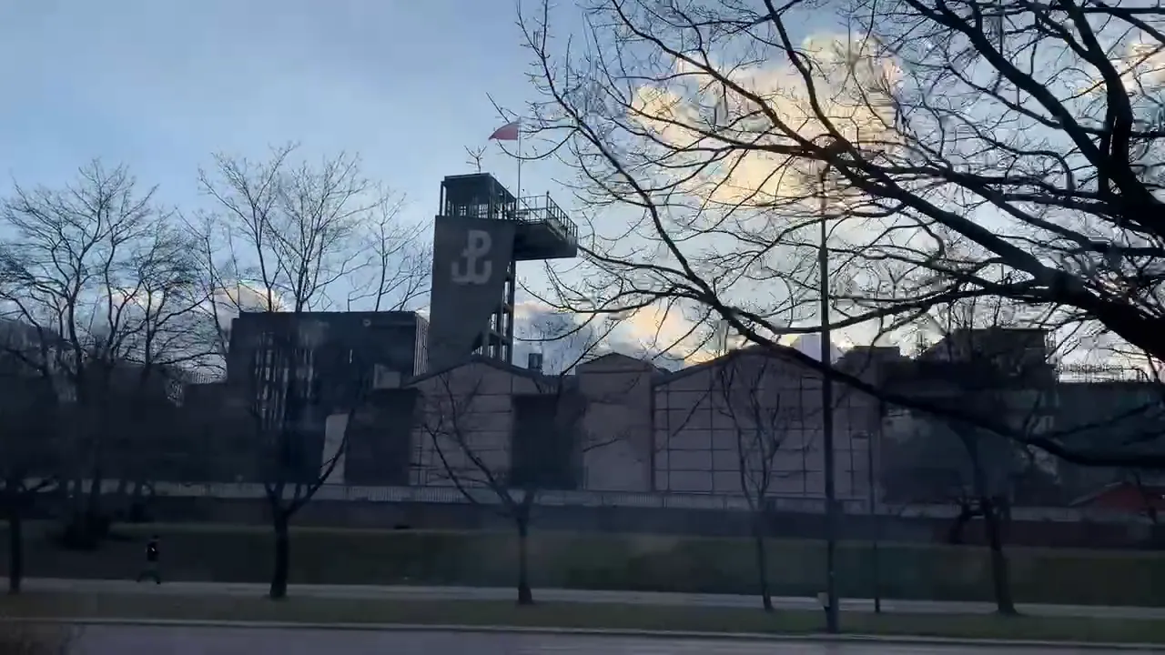
Grzybowska 79. Housed in a former tramway power station, the museum explores the 1944 uprising through artefacts, photographs, testimony and immersive exhibitions. Allow several hours for a substantial visit.
Wola contains an exceptional grouping of burial grounds reflecting the many religious and cultural communities that shaped Warsaw. They are distinct sites with different traditions; several remain active cemeteries.
Powązkowska 14. Established in 1790, Old Powązki contains the graves of Stanisław Moniuszko, Władysław Reymont, Bolesław Prus and Fryderyk Chopin’s parents, among many others. Its tomb sculptures and tree-lined paths provide an extraordinary introduction to Polish cultural history.
Okopowa 49/51. Established in 1806, this cemetery preserves generations of Jewish Warsaw. Notable burials include Ludwik Zamenhof and Yiddish writer I. L. Peretz. Explore the fuller context in our Jewish Warsaw guide.
Wolska 138/140. The nineteenth-century Orthodox Cemetery contains the Church of St John Climacus, consecrated in 1905. It is separate from the nearby Catholic St Lawrence’s Church, although both sites intersect with Wola’s military and religious history.
The Evangelical-Augsburg Cemetery on Młynarska, the Evangelical-Reformed Cemetery on Żytnia and the Muslim Tatar Cemetery on Tatarska broaden the story beyond the better-known burial grounds. Military Powązki, by contrast, lies in Żoliborz and is not the same as Old Powązki.
For the wider history of Warsaw’s burial grounds — including Protestant, Orthodox, Jewish, Muslim and Karaite communities, wartime remembrance and an interactive map — explore our Warsaw Cemeteries & Memorials guide.
After the Second World War, housing shortages and devastated infrastructure prompted major rebuilding. The WSM Koło II housing estate, designed by Helena and Szymon Syrkus in 1947 and built through the following years, is an important example of postwar modernist planning. Its open spaces, light and functional homes offered a different vision of urban living.
A visit to the estate can be paired with nearby Park Moczydło, while our Warsaw Architecture guide gives wider context to the city’s postwar development.
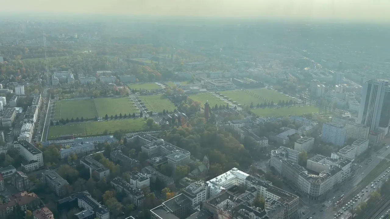
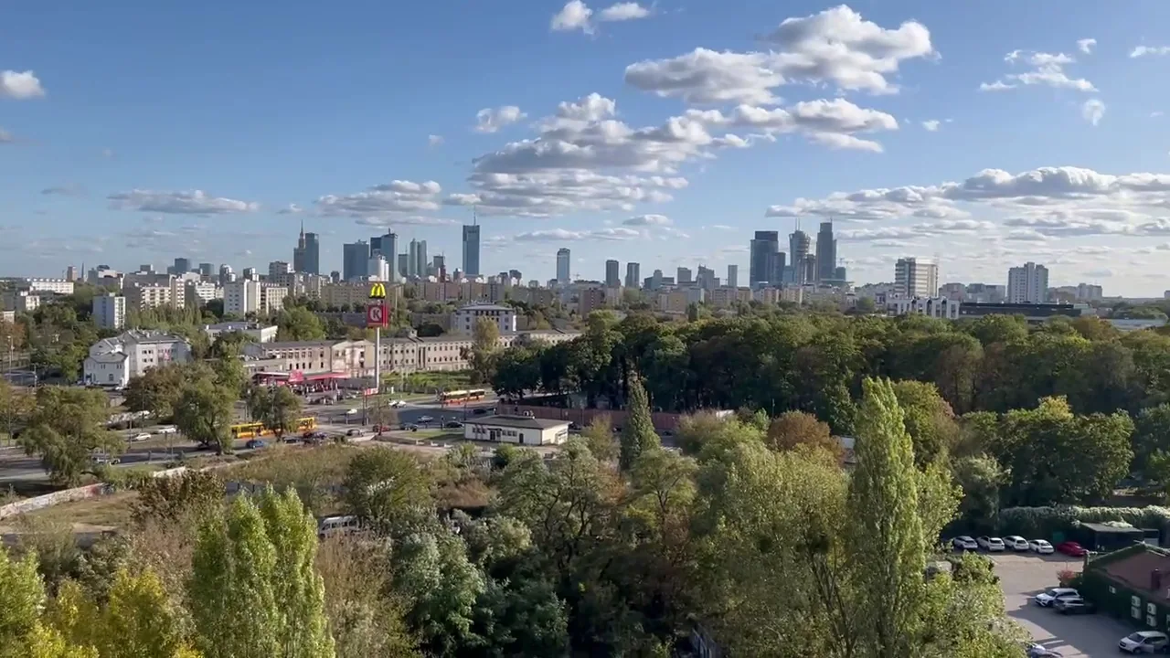
Around Rondo Daszyńskiego, skyscrapers, new public spaces and transport connections have reshaped much of eastern Wola. The towers stand close to old factories and railway land, making the area one of Warsaw’s clearest examples of urban transformation.
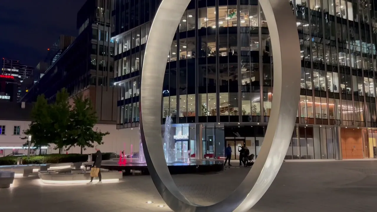
The Warsaw Spire development rises above landscaped Plac Europejski, with seating, installations and a changing atmosphere after dark. It is an excellent stop for architecture photography and for understanding the scale of contemporary redevelopment.
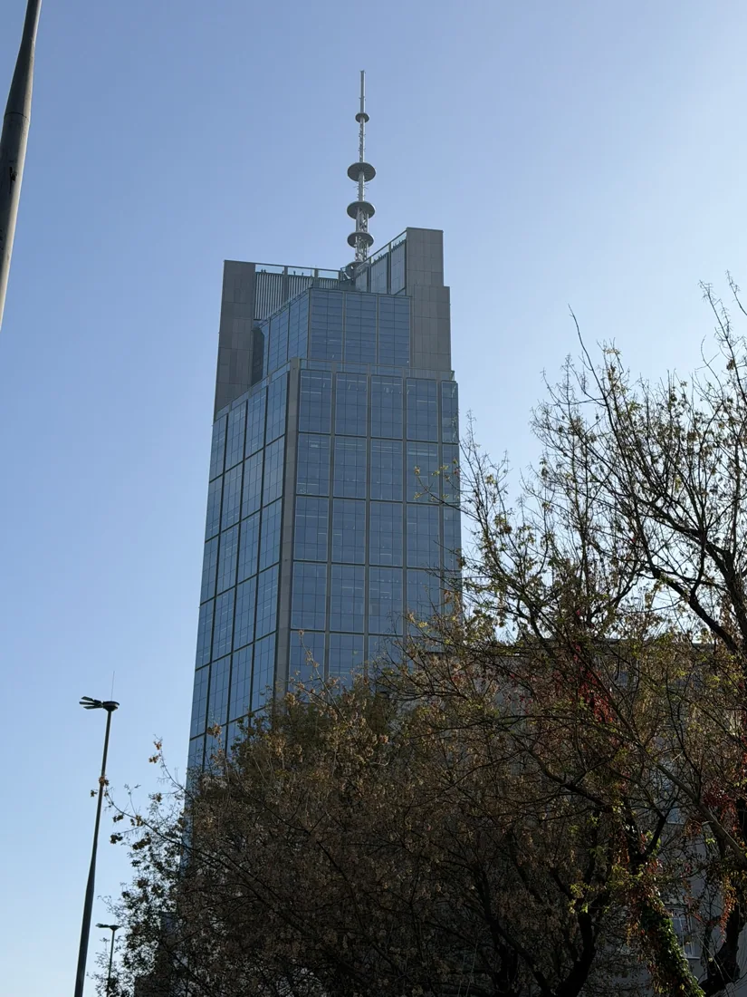
Chmielna 69. Designed by Foster + Partners, Varso Tower rises to 310 metres including its spire, making it the tallest building in the European Union. Its Highline Warsaw observation experience provides wide views across Warsaw’s different districts, railway corridors and green spaces. Although it stands close to Warsaw Central Station, the tower belongs to Wola, near the district’s eastern boundary.
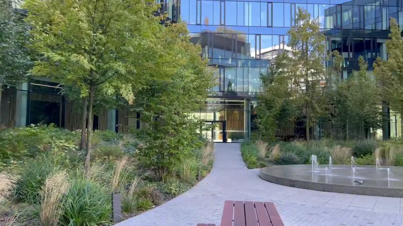
Burakowska 14. Near Wola’s northern edge, Forest Campus combines a 120-metre office tower and lower glass buildings with planted courtyards and green spaces. Designed by HRA Architekci, the complex shows another direction for modern Warsaw: offices arranged around trees, grasses, paths and places to sit. The landscaped courtyard offers a more human-scale contrast to the surrounding towers; check the latest access arrangements for the rooftop garden.
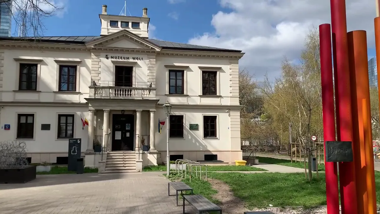
Srebrna 12. A branch of the Museum of Warsaw, the Museum of Wola explores local work, community life, identity and the changes that shaped the district. Its exhibitions complement the larger citywide institutions.
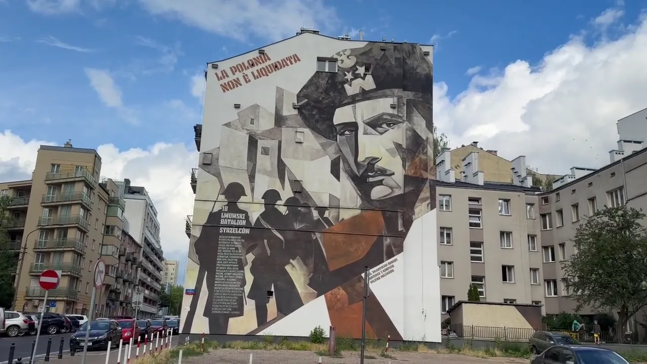
Wola’s murals commemorate events and people while bringing colour to ordinary streets. Public artwork in its modern office squares offers a different kind of expression. As individual murals may change or disappear during renovation, they are best treated as discoveries along a walk rather than guaranteed permanent exhibits.
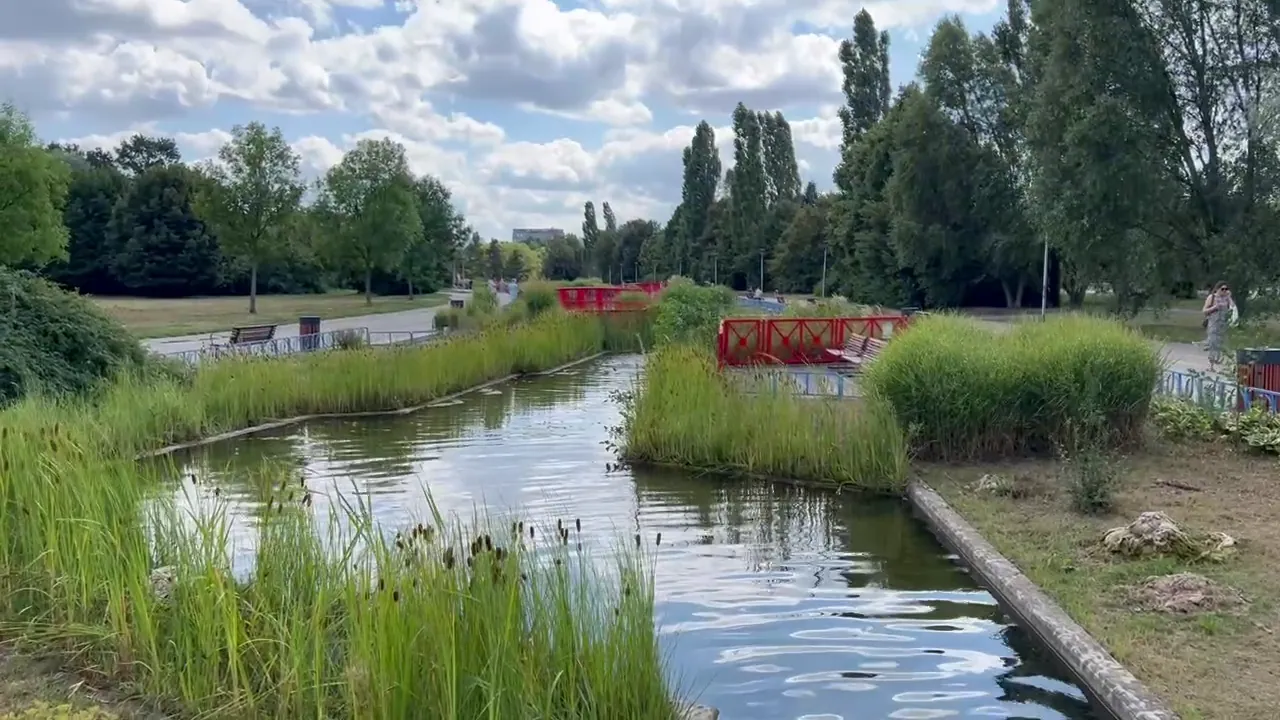
Water channels, small bridges, footpaths and recreational areas make Park Edwarda Szymańskiego one of the district’s most attractive green spaces for a walk or a break from sightseeing.
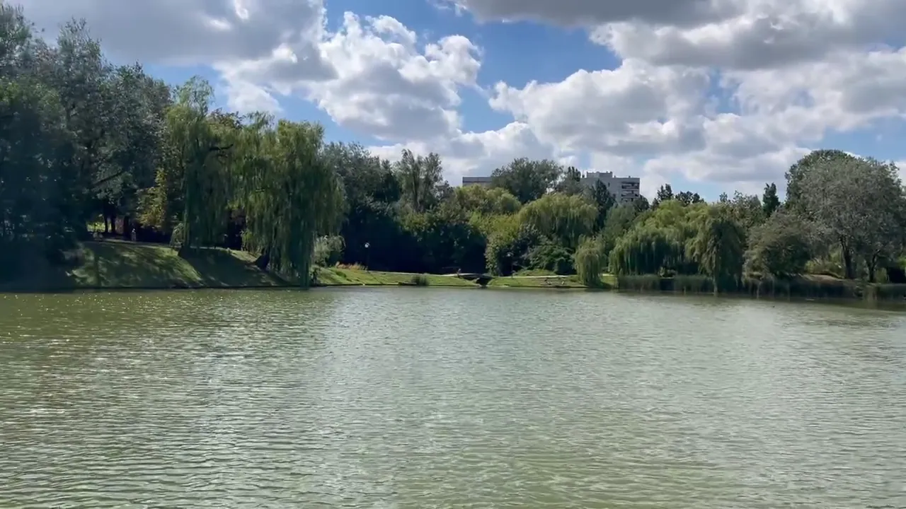
With ponds, mature trees, uneven terrain and open views, Park Moczydło feels more natural and spacious. Its hill offers elevated views over parts of the city.
Named in memory of General Józef Sowiński, this park lies near the area associated with the 1831 defence of Wola and provides a green pause on a visit along Wolska Street.
Hala Mirowska and Hala Gwardii are in neighbouring Śródmieście, not Wola. The historic twin halls, built around 1899–1902, sit just beyond Wola’s eastern boundary and make a useful optional starting point for the industrial walk. Hala Mirowska is well known for the colourful flower stalls outside; Hala Gwardii has experienced several different uses over its history.
They are included on the supplied visitor map for orientation, but their fuller story and our original photographs belong in the forthcoming Śródmieście district guide. You can also explore the Industrial Warsaw & Markets guide.
Fabryka Norblina → Browary Warszawskie → Plac Europejski → Rondo Daszyńskiego → Warsaw Uprising Museum.
For markets, start first at Hala Mirowska and Hala Gwardii, just outside Wola in Śródmieście, as shown on the map.
Wola Massacre Monument → St Adalbert’s → St Lawrence’s and Fort Wola → Orthodox Cemetery → Warsaw Insurgents Cemetery.
This is a long corridor with emotionally difficult material. Use trams between widely spaced stops.
Old Powązki → Okopowa Jewish Cemetery → Koło estate → Park Moczydło → Park Edwarda Szymańskiego.
Best divided into a longer outing with public transport connections.
The M2 metro serves Wola at Rondo Daszyńskiego, Płocka, Młynów and Księcia Janusza, with trams and buses useful for western Wola. Distances between some sites are substantial, so plan individual areas rather than trying every landmark in one walk.
A few hours will cover the revived industrial complexes and modern skyline. Allow a half-day or more for a museum and nearby streets; the western cemeteries and parks deserve their own visit.
Check current museum arrangements before travelling, particularly for the Gasworks. The cemeteries are places of burial and religious observance; wartime monuments commemorate civilian suffering. Treat both with care.
Wola’s streets reveal Warsaw’s changes through royal elections, industrial work, resistance, loss and rebuilding. The historic brick walls and contemporary skyline belong to the same evolving city.